Geolocate

Brignole topographic map

Click on the map to display elevation.

About this map

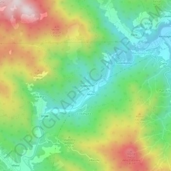
Name: Brignole topographic map, elevation, terrain.

Location: Brignole, Rezzoaglio, Genoa, Liguria, 16048, Italy (44.49839 9.34920 44.53839 9.38920)

Average elevation: 3,120 ft

Minimum elevation: 2,208 ft

Maximum elevation: 4,626 ft

Gear up for your next adventure:

🧺Microfiber Travel Towels - Compact and fast-drying towels for trail use
📷Action Cameras - Rugged cameras to document your journeys across rugged terrain
🧯Emergency Survival Kit - All‑in‑one survival essentials for the backcountry
Backpacking Tents - Weight-optimized shelters for multi-day topographic surveys
🌡️Handheld Weather Meters - Measure wind, temp, and pressure for safe mountain travel

As an Amazon Associate, this site earns from qualifying purchases at no extra cost to you.