
Make a donation
Gear up for your next adventure:
As an Amazon Associate, this site earns from qualifying purchases at no extra cost to you.
Amherst topographic map
Click on the map to display elevation.
Make a donation
Gear up for your next adventure:
As an Amazon Associate, this site earns from qualifying purchases at no extra cost to you.
About this map
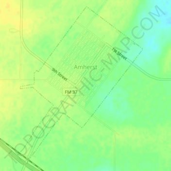
Name: Amherst topographic map, elevation, terrain.
Location: Amherst, Lamb County, Texas, 79312, United States (33.99760 -102.42685 34.02262 -102.40292)
Average elevation: 3,648 ft
Minimum elevation: 3,606 ft
Maximum elevation: 3,675 ft
Lamb County trails, hiking, mountain biking, running and outdoor activities
Make a donation
Gear up for your next adventure:
As an Amazon Associate, this site earns from qualifying purchases at no extra cost to you.
Other topographic maps
Click on a map to view its topography, its elevation and its terrain.
Littlefield
United States > Texas > Lamb County > Littlefield > Littlefield
Average elevation: 3,556 ft