
Thank you for supporting this site ❤️
Make a donation
Make a donation
Gear up for your next adventure:
As an Amazon Associate, this site earns from qualifying purchases at no extra cost to you.
information;Ganda topographic map
Click on the map to display elevation.
Thank you for supporting this site ❤️
Make a donation
Make a donation
Gear up for your next adventure:
As an Amazon Associate, this site earns from qualifying purchases at no extra cost to you.
About this map
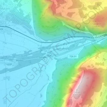
Name: information;Ganda topographic map, elevation, terrain.
Location: information;Ganda, Igis, Landquart, Grisons, 7208, Switzerland (46.96076 9.58395 46.98076 9.60395)
Average elevation: 2,441 ft
Minimum elevation: 1,742 ft
Maximum elevation: 4,472 ft
Thank you for supporting this site ❤️
Make a donation
Make a donation
Gear up for your next adventure:
As an Amazon Associate, this site earns from qualifying purchases at no extra cost to you.