Geolocate

Gadwad topographic map

Click on the map to display elevation.

👉 Easily get elevation data in JSON, GeoTIFF and KML formats using Elevation API
Thank you for supporting this site ❤️
Make a donation

About this map

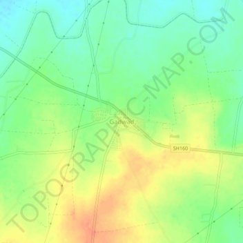
Name: Gadwad topographic map, elevation, terrain.

Location: Gadwad, Latur, Maharashtra, India (18.49665 76.31254 18.53665 76.35254)

Average elevation: 2,096 ft

Minimum elevation: 2,031 ft

Maximum elevation: 2,172 ft

Gear up for your next adventure:

🧭Map Reading Tools - Tools and kits for map navigation
🪄Magnetic Compass - Accurate compass for navigation
Solar GPS Watches - Advanced multisport watches with built-in topographic maps
📦Gear Storage Bags - Organize and protect outdoor equipment
🚑Emergency Bivvies - Heat-reflective sleeping bags for survival situations

As an Amazon Associate, this site earns from qualifying purchases at no extra cost to you.