Reynolds topographic map
Interactive map
Click on the map to display elevation.
About this map
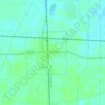
Name: Reynolds topographic map, elevation, terrain.
Location: Reynolds, White County, Indiana, United States (40.74365 -86.88091 40.75471 -86.86714)
Average elevation: 692 ft
Minimum elevation: 679 ft
Maximum elevation: 705 ft
Other topographic maps
Click on a map to view its topography, its elevation and its terrain.
Brookston
United States > Indiana > White County
Brookston, White County, Indiana, United States
Average elevation: 682 ft
Monon
United States > Indiana > White County
Monon, White County, Indiana, United States
Average elevation: 679 ft
Chalmers
United States > Indiana > White County
Chalmers, White County, Indiana, United States
Average elevation: 702 ft
Monticello
United States > Indiana > White County
Monticello, White County, Indiana, United States
Average elevation: 679 ft