Geolocate

Bulembu topographic map

Click on the map to display elevation.

About this map

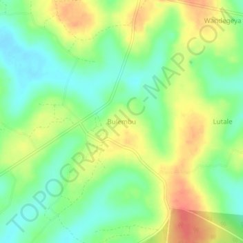
Name: Bulembu topographic map, elevation, terrain.

Location: Bulembu, Mayuge, Eastern Region, Uganda (0.31333 33.51333 0.35333 33.55333)

Average elevation: 3,822 ft

Minimum elevation: 3,740 ft

Maximum elevation: 3,917 ft

Gear up for your next adventure:

🌡️Portable Weather Meter - Track weather conditions on the trail
🚗GPS Dash Cams - Record your scenic drives through mountain passes and canyons
🥘Titanium Cookware - Durable, featherlight pots and pans for backpacking
🥤Water Filter Bottle - All‑in‑one filter bottle for safe hydration
🥾Women's Hiking Boots - Top-rated trail boots with ankle support and superior grip

As an Amazon Associate, this site earns from qualifying purchases at no extra cost to you.