Geolocate

Adiya topographic map

Click on the map to display elevation.

About this map

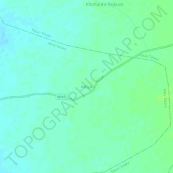
Name: Adiya topographic map, elevation, terrain.

Location: Adiya, Harij Taluka, Patan District, Gujarat, 384255, India (23.75916 71.99734 23.79916 72.03734)

Average elevation: 207 ft

Minimum elevation: 190 ft

Maximum elevation: 220 ft

Other topographic maps

Click on a map to view its topography, its elevation and its terrain.

Aanad Sarovar

India > Gujarat > Harij Taluka > Roda

Average elevation: 171 ft

Gear up for your next adventure:

🧭Compass with Lanyard - Easy‑carry compass for navigation
🪑Ultralight Camp Chairs - Portable seating for resting after a long day of mapping
🌡️Portable Weather Meter - Track weather conditions on the trail
🪶Multi‑Purpose Knife - Useful blade for camp and trail
🎒Waterproof Dry Bags - Keep your electronics and maps dry inside your pack

As an Amazon Associate, this site earns from qualifying purchases at no extra cost to you.