
Make a donation
Gear up for your next adventure:
As an Amazon Associate, this site earns from qualifying purchases at no extra cost to you.
Bella Vista topographic map
Click on the map to display elevation.
Make a donation
Gear up for your next adventure:
As an Amazon Associate, this site earns from qualifying purchases at no extra cost to you.
Bella Vista
Políticamente forma parte del municipio de Magdalena. Está ubicada en la orilla derecha del río Blanco, en su confluencia con el río San Martín, el cual se desprende del cauce del río Iténez. Tiene una altitud de 148 msm y se encuentra dentro del área protegida denominado Parque departamental y área natural de manejo integrado Iténez (PD-ANMI Iténez).
Make a donation
Gear up for your next adventure:
As an Amazon Associate, this site earns from qualifying purchases at no extra cost to you.
About this map
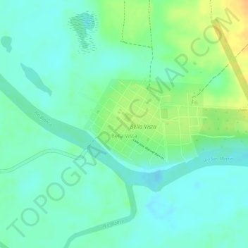
Name: Bella Vista topographic map, elevation, terrain.
Average elevation: 466 ft
Minimum elevation: 423 ft
Maximum elevation: 538 ft
Make a donation
Gear up for your next adventure:
As an Amazon Associate, this site earns from qualifying purchases at no extra cost to you.