
Okigwe topographic map
Click on the map to display elevation.
About this map
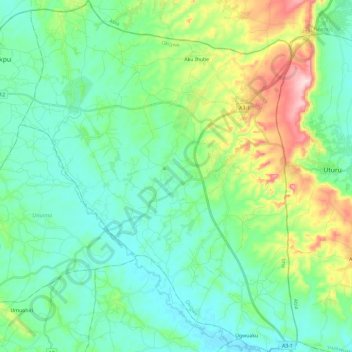
Name: Okigwe topographic map, elevation, terrain.
Location: Okigwe, Imo State, Nigeria (5.70561 7.21551 5.93893 7.40039)
Average elevation: 459 ft
Minimum elevation: 230 ft
Maximum elevation: 1,171 ft