Geolocate

Mayapa topographic map

Click on the map to display elevation.

About this map

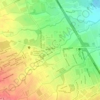
Name: Mayapa topographic map, elevation, terrain.

Location: Mayapa, Calamba, Laguna, Calabarzon, 4029, Philippines (14.20214 121.11617 14.22015 121.13080)

Average elevation: 187 ft

Minimum elevation: 39 ft

Maximum elevation: 308 ft

Other topographic maps

Click on a map to view its topography, its elevation and its terrain.

Bucal

Philippines > Laguna > Calamba

Average elevation: 72 ft

88 Spa & Resort

Philippines > Laguna > Calamba

Average elevation: 272 ft

ASN Ph2 Park

Philippines > Laguna > Calamba

Average elevation: 436 ft

Bucal Reservoir

Philippines > Laguna > Calamba

Average elevation: 138 ft

Calamba Town Plaza

Philippines > Laguna > Calamba

Average elevation: 36 ft

Gear up for your next adventure:

🎒Trekking Poles - Sturdy poles for balance and stability on rough terrain
🛰️Handheld GPS Units - Professional satellite navigators for precise backcountry mapping
☀️Outdoor Sunscreen - High protection sunscreen for outdoor activities
🚁Photography Drones - Capture stunning aerial views of landforms and topography
🔦Powerful Headlamps - Ultra-bright hands-free lighting for night navigation

As an Amazon Associate, this site earns from qualifying purchases at no extra cost to you.