
Saint-Tite topographic map
Interactive map
Click on the map to display elevation.
About this map
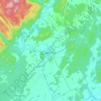
Name: Saint-Tite topographic map, elevation, terrain.
Location: Saint-Tite, Mékinac, Mauricie, Quebec, Canada (46.67338 -72.65114 46.78928 -72.47532)
Average elevation: 571 ft
Minimum elevation: 361 ft
Maximum elevation: 1,496 ft