Geolocate

Tundra topographic map

Click on the map to display elevation.

About this map

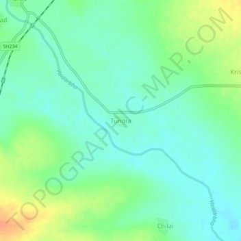
Name: Tundra topographic map, elevation, terrain.

Location: Tundra, Wani, Yavatmal, Maharashtra, India (19.83196 78.89776 19.87196 78.93776)

Average elevation: 696 ft

Minimum elevation: 650 ft

Maximum elevation: 778 ft

Gear up for your next adventure:

🪶Camp Gear Gift Set - Perfect gift bundle for outdoor fans
Solar GPS Watches - Advanced multisport watches with built-in topographic maps
🎒Gear Packing Cubes - Organize your backpack efficiently
🧭Orienteering Set - Complete compass and map reading kit
🔦Compact Flashlight - Reliable flashlight for emergencies

As an Amazon Associate, this site earns from qualifying purchases at no extra cost to you.