
Thank you for supporting this site ❤️
Make a donation
Make a donation
Gear up for your next adventure:
As an Amazon Associate, this site earns from qualifying purchases at no extra cost to you.
Al Qutaynah topographic map
Click on the map to display elevation.
Thank you for supporting this site ❤️
Make a donation
Make a donation
Gear up for your next adventure:
As an Amazon Associate, this site earns from qualifying purchases at no extra cost to you.
About this map
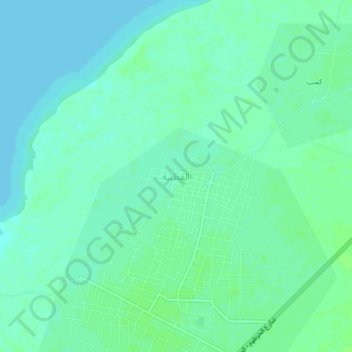
Name: Al Qutaynah topographic map, elevation, terrain.
Location: Al Qutaynah, Al Gutaina, White Nile State, Sudan (14.85629 32.35037 14.89629 32.39037)
Average elevation: 1,257 ft
Minimum elevation: 1,243 ft
Maximum elevation: 1,270 ft
Thank you for supporting this site ❤️
Make a donation
Make a donation
Gear up for your next adventure:
As an Amazon Associate, this site earns from qualifying purchases at no extra cost to you.