Geolocate

Ocean City topographic map

Click on the map to display elevation.

About this map

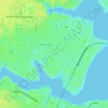
Name: Ocean City topographic map, elevation, terrain.

Location: Ocean City, Okaloosa County, Florida, United States (30.42366 -86.62763 30.45269 -86.59081)

Average elevation: 20 ft

Minimum elevation: -10 ft

Maximum elevation: 52 ft

Okaloosa County trails, hiking, mountain biking, running and outdoor activities

Gear up for your next adventure:

🌎3D Topographic Globes - Raised relief globes for a tactile understanding of geography
🔌USB Car Charger - Car charger for on‑the‑go power needs
🛰️Satellite Messengers - Emergency SOS and two-way messaging for off-grid adventures
🗃️Trail First Aid Kit - Essential kit for outdoor injuries and emergencies
📚USA Hiking Guide Books - Top trail guides and map books

As an Amazon Associate, this site earns from qualifying purchases at no extra cost to you.