Geolocate

Mollepata topographic map

Click on the map to display elevation.

About this map

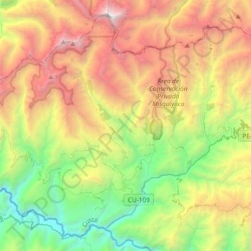
Name: Mollepata topographic map, elevation, terrain.

Location: Mollepata, Province of Anta, Cusco, 08645, Peru (-13.56276 -72.77286 -13.33261 -72.50542)

Average elevation: 11,732 ft

Minimum elevation: 5,820 ft

Maximum elevation: 20,433 ft

Gear up for your next adventure:

🎁Geography Themed Gifts - Unique gift ideas for map lovers and geography enthusiasts
🌲Outdoor Survival Books - Best books on survival skills
🥩Freeze-Dried Meals - Nutritious and lightweight food for remote expeditions
📌Outdoor GPS Map App - Apps and devices for digital topographic navigation
🎒Trail Energy Bars - High‑calorie bars for hiking energy

As an Amazon Associate, this site earns from qualifying purchases at no extra cost to you.