
Creighton topographic map
Click on the map to display elevation.
About this map
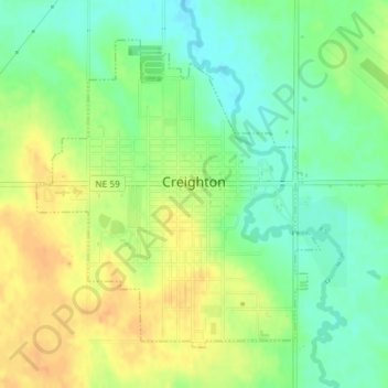
Name: Creighton topographic map, elevation, terrain.
Location: Creighton, Knox County, Nebraska, 68729, United States (42.45509 -97.92107 42.47654 -97.89424)
Average elevation: 1,637 ft
Minimum elevation: 1,581 ft
Maximum elevation: 1,690 ft
Knox County trails, hiking, mountain biking, running and outdoor activities
Other topographic maps
Click on a map to view its topography, its elevation and its terrain.
Bloomfield Trailer Court
United States > Nebraska > Knox County > Bloomfield
Average elevation: 1,739 ft