Geolocate

Riverside topographic map

Click on the map to display elevation.

About this map

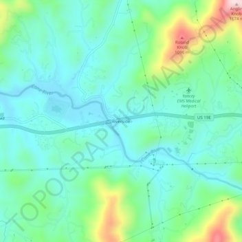
Name: Riverside topographic map, elevation, terrain.

Location: Riverside, Yancey County, North Carolina, United States (35.89182 -82.36649 35.93182 -82.32649)

Average elevation: 2,808 ft

Minimum elevation: 2,497 ft

Maximum elevation: 3,802 ft

Yancey County trails, hiking, mountain biking, running and outdoor activities

Other topographic maps

Click on a map to view its topography, its elevation and its terrain.

Gear up for your next adventure:

🪶Fire Starter Kit - Reliable fire starter for survival and camping
🧭Pro Hiking Compasses - High-accuracy liquid-filled compasses for topographic orientation
🪶Survival Guide Book - Expert advice for emergency preparedness
🔊Portable Camp Speaker - Music and alerts at camp
🧥Men's Rain Shells - Premium waterproof and breathable jackets for mountain weather

As an Amazon Associate, this site earns from qualifying purchases at no extra cost to you.