
Thank you for supporting this site ❤️
Make a donation
Make a donation
Gear up for your next adventure:
As an Amazon Associate, this site earns from qualifying purchases at no extra cost to you.
Gwalia topographic map
Click on the map to display elevation.
Thank you for supporting this site ❤️
Make a donation
Make a donation
Gear up for your next adventure:
As an Amazon Associate, this site earns from qualifying purchases at no extra cost to you.
About this map
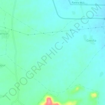
Name: Gwalia topographic map, elevation, terrain.
Location: Gwalia, Narwar Tahsil, Shivpuri, Madhya Pradesh, India (25.55374 77.99801 25.58043 78.03630)
Average elevation: 889 ft
Minimum elevation: 830 ft
Maximum elevation: 1,161 ft
Thank you for supporting this site ❤️
Make a donation
Make a donation
Gear up for your next adventure:
As an Amazon Associate, this site earns from qualifying purchases at no extra cost to you.