
Durham topographic map
Click on the map to display elevation.
About this map
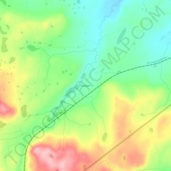
Name: Durham topographic map, elevation, terrain.
Location: Durham, Glacier County, Montana, United States (48.49886 -113.13703 48.53886 -113.09703)
Average elevation: 4,816 ft
Minimum elevation: 4,593 ft
Maximum elevation: 5,131 ft
Glacier County trails, hiking, mountain biking, running and outdoor activities