
Watchet topographic map
Click on the map to display elevation.
About this map
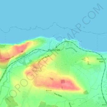
Name: Watchet topographic map, elevation, terrain.
Average elevation: 66 ft
Minimum elevation: 0 ft
Maximum elevation: 243 ft
Other topographic maps
Click on a map to view its topography, its elevation and its terrain.
Bossington
United Kingdom > England > Somerset > Somerset West and Taunton > Bossington
Average elevation: 226 ft
Horner Water
United Kingdom > England > Somerset > Somerset West and Taunton > Luccombe
Average elevation: 814 ft