
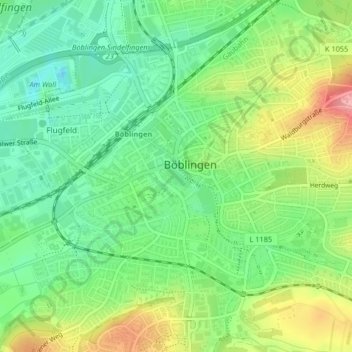
Unterer See topographic map
Click on the map to display elevation.
About this map
Name: Unterer See topographic map, elevation, terrain.
Average elevation: 1,486 ft
Minimum elevation: 1,342 ft
Maximum elevation: 1,719 ft
Other topographic maps
Click on a map to view its topography, its elevation and its terrain.
Dagersheim
Germany > Baden-Württemberg > Landkreis Böblingen > Böblingen > Dagersheim
Average elevation: 1,470 ft