
Wallacestone topographic map
Click on the map to display elevation.
About this map
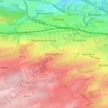
Name: Wallacestone topographic map, elevation, terrain.
Location: Wallacestone, Falkirk, Scotland, FK2 0DJ, United Kingdom (55.95603 -3.75460 55.99603 -3.71460)
Average elevation: 390 ft
Minimum elevation: 33 ft
Maximum elevation: 676 ft
Other topographic maps
Click on a map to view its topography, its elevation and its terrain.
Union Canal
United Kingdom > Scotland > Falkirk
Canal commences from the sixteenth lock of the Forth and Clyde Navigation, about two miles west of Falkirk, in the county of Sterling , whence it takes an eastwardly course on the south side of the above-mentioned town, by some collieries; thence, through Black Hill Tunnel, and across the Glen Water, on which…
Average elevation: 446 ft
Falkirk
United Kingdom > Scotland > Falkirk
Falkirk is located in an area of undulating topography between the Slamannan Plateau and the upper reaches of the Firth of Forth. The area to the north of Falkirk is part of the floodplain of the River Carron. Two tributaries of the River Carron - the East Burn and the West Burn flow through the town and form…
Average elevation: 138 ft