Geolocate

Utc topographic map

Click on the map to display elevation.

About this map

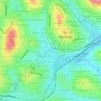
Name: Utc topographic map, elevation, terrain.

Location: Utc, Kampala, Central Region, Uganda (0.29227 32.55540 0.33227 32.59540)

Average elevation: 3,898 ft

Minimum elevation: 3,757 ft

Maximum elevation: 4,226 ft

Gear up for your next adventure:

🎒Waterproof Dry Bags - Keep your electronics and maps dry inside your pack
🧦Hiking Socks - Comfortable socks to prevent blisters on long hikes
🦟Ultrasonic Repellers - Create a bug-free zone at your camp or rest stop
🧭Compass with Lanyard - Easy‑carry compass for navigation
🖼️Topo Map Wall Art - Decorative topographic prints of famous peaks and regions

As an Amazon Associate, this site earns from qualifying purchases at no extra cost to you.