
Grain Valley topographic map
Interactive map
Click on the map to display elevation.
About this map
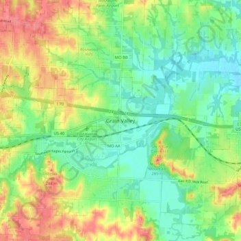
Name: Grain Valley topographic map, elevation, terrain.
Location: Grain Valley, Jackson County, Missouri, 64029, United States (38.97877 -94.23765 39.05877 -94.15765)
Average elevation: 850 ft
Minimum elevation: 751 ft
Maximum elevation: 991 ft
Jackson County trails, hiking, mountain biking, running and outdoor activities