
Ebni topographic map
Click on the map to display elevation.
Ebni
In der Römerzeit war das Gebiet des heutigen Ebni noch wenig erschlossen und von dichtem Wald bedeckt. Um 161 n. Chr. drangen römische Truppen vom Neckarbecken kommend in das Gebiet vor und errichteten den obergermanisch-rätischen Limes, der etwa einen Kilometer östlich von Ebni verlief. Damit gehörte das Gebiet des heutigen Ebni zum Dekumatland, dem rechtsrheinischen Teil der Provinz Germania superior. Da auf den Höhen bei Ebni ein alter Fernhandelsweg ins Freie Germanien führte, legten die Römer das Kleinkastell Ebnisee an. Im Rahmen der Forschungen der Reichs-Limeskommission wurde das Römerlager 1895 durch Gustav Sixt (1856–1904) entdeckt. Eine moderne Ausgrabung hat bisher nicht stattgefunden.
About this map
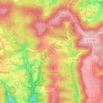
Name: Ebni topographic map, elevation, terrain.
Average elevation: 1,650 ft
Minimum elevation: 1,286 ft
Maximum elevation: 1,864 ft
Other topographic maps
Click on a map to view its topography, its elevation and its terrain.