
Thank you for supporting this site ❤️
Make a donation
Make a donation
Gear up for your next adventure:
As an Amazon Associate, this site earns from qualifying purchases at no extra cost to you.
Scoutland topographic map
Click on the map to display elevation.
Thank you for supporting this site ❤️
Make a donation
Make a donation
Gear up for your next adventure:
As an Amazon Associate, this site earns from qualifying purchases at no extra cost to you.
About this map
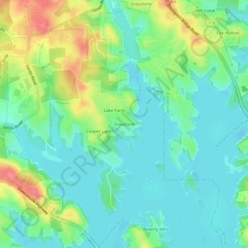
Name: Scoutland topographic map, elevation, terrain.
Location: Scoutland, Hall County, Georgia, 30506, United States (34.32177 -83.89435 34.36177 -83.85435)
Average elevation: 1,125 ft
Minimum elevation: 1,053 ft
Maximum elevation: 1,286 ft
Thank you for supporting this site ❤️
Make a donation
Make a donation
Gear up for your next adventure:
As an Amazon Associate, this site earns from qualifying purchases at no extra cost to you.