
Make a donation
Gear up for your next adventure:
As an Amazon Associate, this site earns from qualifying purchases at no extra cost to you.
Hallwang topographic map
Click on the map to display elevation.
Make a donation
Gear up for your next adventure:
As an Amazon Associate, this site earns from qualifying purchases at no extra cost to you.
About this map
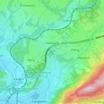
Name: Hallwang topographic map, elevation, terrain.
Location: Hallwang, Bezirk Salzburg-Umgebung, Salzbourg, 5300, Autriche (47.82718 13.05659 47.86724 13.12375)
Average elevation: 1,732 ft
Minimum elevation: 1,381 ft
Maximum elevation: 2,887 ft
Make a donation
Gear up for your next adventure:
As an Amazon Associate, this site earns from qualifying purchases at no extra cost to you.
Other topographic maps
Click on a map to view its topography, its elevation and its terrain.
Waldprechting
Autriche > Salzbourg > Bezirk Salzburg-Umgebung > Seekirchen am Wallersee
Average elevation: 1,811 ft
Make a donation
Gear up for your next adventure:
As an Amazon Associate, this site earns from qualifying purchases at no extra cost to you.