
Thank you for supporting this site ❤️
Make a donation
Make a donation
Gear up for your next adventure:
As an Amazon Associate, this site earns from qualifying purchases at no extra cost to you.
Kitwanga topographic map
Click on the map to display elevation.
Thank you for supporting this site ❤️
Make a donation
Make a donation
Gear up for your next adventure:
As an Amazon Associate, this site earns from qualifying purchases at no extra cost to you.
About this map
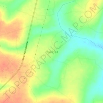
Name: Kitwanga topographic map, elevation, terrain.
Location: Kitwanga, Kiryandongo, Western Region, Uganda (1.97324 32.16332 2.01324 32.20332)
Average elevation: 3,612 ft
Minimum elevation: 3,530 ft
Maximum elevation: 3,691 ft
Thank you for supporting this site ❤️
Make a donation
Make a donation
Gear up for your next adventure:
As an Amazon Associate, this site earns from qualifying purchases at no extra cost to you.