
Ceegaag topographic map
Click on the map to display elevation.
About this map
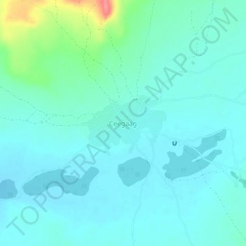
Name: Ceegaag topographic map, elevation, terrain.
Location: Ceegaag, Buhoodle District, Togdheer, Somaliland, Somalia (8.60306 46.46855 8.64306 46.50855)
Average elevation: 2,756 ft
Minimum elevation: 2,710 ft
Maximum elevation: 2,963 ft