Geolocate

Pukarua topographic map

Click on the map to display elevation.

About this map

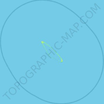
Name: Pukarua topographic map, elevation, terrain.

Location: Pukarua, Reao, Tuamotu-Gambier, French Polynesia, France (-18.56467 -137.27998 -18.06112 -136.75405)

Average elevation: 0 ft

Minimum elevation: -3 ft

Maximum elevation: 39 ft

Gear up for your next adventure:

🛰️Handheld GPS Units - Professional satellite navigators for precise backcountry mapping
🎒Trekking Poles - Sturdy poles for balance and stability on rough terrain
🥘Titanium Cookware - Durable, featherlight pots and pans for backpacking
🧦Merino Wool Socks - Moisture-wicking, blister-preventing socks for long treks
🕶️GPS Smartphone Mount - Secure mount for phone navigation

As an Amazon Associate, this site earns from qualifying purchases at no extra cost to you.