
Athi River topographic map
Interactive map
Click on the map to display elevation.
About this map
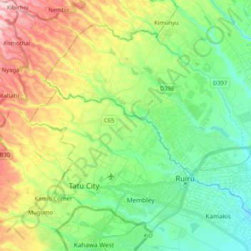
Name: Athi River topographic map, elevation, terrain.
Location: Athi River, Kiambu County, Central Kenya, Kenya (-1.15760 36.84416 -1.07436 36.99152)
Average elevation: 5,187 ft
Minimum elevation: 4,888 ft
Maximum elevation: 5,738 ft
Other topographic maps
Click on a map to view its topography, its elevation and its terrain.