
Gonja topographic map
Interactive map
Click on the map to display elevation.
About this map
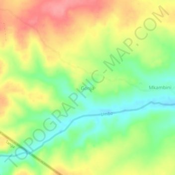
Name: Gonja topographic map, elevation, terrain.
Location: Gonja, Kwale, Kenya (-4.57000 39.04660 -4.53000 39.08660)
Average elevation: 341 ft
Minimum elevation: 197 ft
Maximum elevation: 495 ft