
Make a donation
Gear up for your next adventure:
As an Amazon Associate, this site earns from qualifying purchases at no extra cost to you.
Rauw topographic map
Click on the map to display elevation.
Make a donation
Gear up for your next adventure:
As an Amazon Associate, this site earns from qualifying purchases at no extra cost to you.
Rauw
Rauw is een van de twaalf gehuchten van de Belgische gemeente Mol. De plaats ligt echter dichter bij de kernen van Lommel en Balen, dan bij het centrum van Mol zelf en wordt ook wel aangeduid als een kerkdorp. Op sommige topografische kaarten wordt Rauw als Rouw of Het Rouw aangeduid.
Make a donation
Gear up for your next adventure:
As an Amazon Associate, this site earns from qualifying purchases at no extra cost to you.
About this map
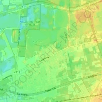
Name: Rauw topographic map, elevation, terrain.
Location: Rauw, Mol, Turnhout, Antwerpen, Vlaanderen, België (51.20104 5.18408 51.24104 5.22408)
Average elevation: 115 ft
Minimum elevation: 72 ft
Maximum elevation: 154 ft
Make a donation
Gear up for your next adventure:
As an Amazon Associate, this site earns from qualifying purchases at no extra cost to you.
Other topographic maps
Click on a map to view its topography, its elevation and its terrain.