Geolocate

Chitkul topographic map

Click on the map to display elevation.

About this map

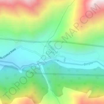
Name: Chitkul topographic map, elevation, terrain.

Location: Chitkul, Sangla, Kinnaur District, Himachal Pradesh, India (31.35005 78.43385 31.35368 78.43830)

Average elevation: 12,123 ft

Minimum elevation: 10,902 ft

Maximum elevation: 14,409 ft

Gear up for your next adventure:

🧢Outdoor Hiking Hat - Sun protection hat for outdoor explorers
🪑Portable Camp Table - Compact table for campsite meals
👟Men's Trail Runners - Lightweight footwear for fast-paced exploration and light hiking
🗻Climbing Gear Basics - Essential gear for beginner climbers
🔦Compact Flashlight - Reliable flashlight for emergencies

As an Amazon Associate, this site earns from qualifying purchases at no extra cost to you.