Geolocate

Cedar Grove topographic map

Click on the map to display elevation.

About this map

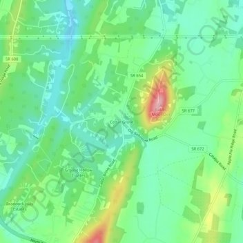
Name: Cedar Grove topographic map, elevation, terrain.

Location: Cedar Grove, Frederick County, Virginia, 22603, United States (39.24816 -78.20917 39.28816 -78.16917)

Average elevation: 840 ft

Minimum elevation: 692 ft

Maximum elevation: 1,165 ft

Frederick County trails, hiking, mountain biking, running and outdoor activities

Other topographic maps

Click on a map to view its topography, its elevation and its terrain.

Stephens City

United States > Virginia > Frederick County

Average elevation: 751 ft

Middletown

United States > Virginia > Frederick County

Average elevation: 692 ft

Gear up for your next adventure:

🎒Hydration Pack - Hands‑free water reservoir for long hikes
🏥Hiking First Aid Kits - Comprehensive medical kits for remote trail injuries
🔌Solar Panel Charger - Charge gear sustainably outdoors
🥾Men's Hiking Boots - Durable, waterproof footwear for rugged terrain and steep inclines
📚Navigation Handbooks - Master the art of reading topographic maps and using a compass

As an Amazon Associate, this site earns from qualifying purchases at no extra cost to you.