Geolocate

Oliosi topographic map

Click on the map to display elevation.

About this map

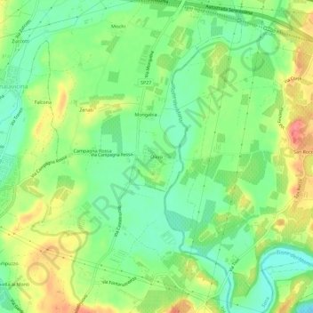
Name: Oliosi topographic map, elevation, terrain.

Location: Oliosi, Castelnuovo del Garda, Verona, Veneto, 37014, Italia (45.38705 10.73158 45.42705 10.77158)

Average elevation: 354 ft

Minimum elevation: 253 ft

Maximum elevation: 495 ft

Other topographic maps

Click on a map to view its topography, its elevation and its terrain.

Gear up for your next adventure:

GPS Sports Watch - GPS watch for running, hiking and training
📡Handheld GPS Device - Reliable handheld GPS for outdoor navigation
📶Satellite Messenger - Communication device off‑grid
🥾Men's Hiking Boots - Durable, waterproof footwear for rugged terrain and steep inclines
🛠️Outdoor Gear Repair Kit - Essential tools to fix gear on the trail

As an Amazon Associate, this site earns from qualifying purchases at no extra cost to you.