Geolocate

Puram topographic map

Click on the map to display elevation.

About this map

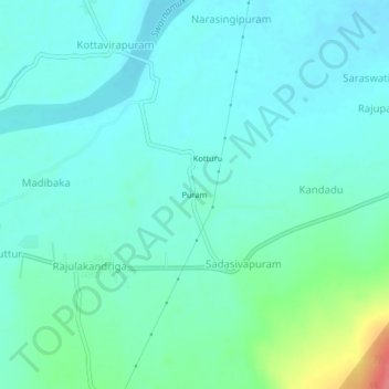
Name: Puram topographic map, elevation, terrain.

Location: Puram, Sadasivapuram, Yerpedu, Tirupati, Andhra Pradesh, India (13.62062 79.59405 13.66062 79.63405)

Average elevation: 305 ft

Minimum elevation: 256 ft

Maximum elevation: 495 ft

Gear up for your next adventure:

🎒Gear Packing Cubes - Organize your backpack efficiently
🧺Microfiber Travel Towels - Compact and fast-drying towels for trail use
🪑Portable Camp Table - Compact table for campsite meals
🧭Compass with Lanyard - Easy‑carry compass for navigation
🩹Survival Bandages - High‑quality bandages for emergencies

As an Amazon Associate, this site earns from qualifying purchases at no extra cost to you.