
Thank you for supporting this site ❤️
Make a donation
Make a donation
Gear up for your next adventure:
As an Amazon Associate, this site earns from qualifying purchases at no extra cost to you.
Gardewada topographic map
Click on the map to display elevation.
Thank you for supporting this site ❤️
Make a donation
Make a donation
Gear up for your next adventure:
As an Amazon Associate, this site earns from qualifying purchases at no extra cost to you.
About this map
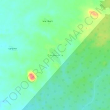
Name: Gardewada topographic map, elevation, terrain.
Location: Gardewada, Etapalli, Gadchiroli, Maharashtra, India (19.66276 80.54995 19.70276 80.58995)
Average elevation: 889 ft
Minimum elevation: 823 ft
Maximum elevation: 1,056 ft
Thank you for supporting this site ❤️
Make a donation
Make a donation
Gear up for your next adventure:
As an Amazon Associate, this site earns from qualifying purchases at no extra cost to you.