
Waare topographic map
Click on the map to display elevation.
About this map
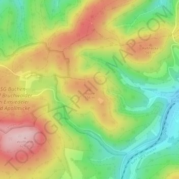
Name: Waare topographic map, elevation, terrain.
Location: Waare, Kirchhundem, Kreis Olpe, North Rhine-Westphalia, Germany (51.06312 8.00229 51.06322 8.00239)
Average elevation: 1,631 ft
Minimum elevation: 1,234 ft
Maximum elevation: 2,060 ft