Geolocate

Marksville topographic map

Click on the map to display elevation.

About this map

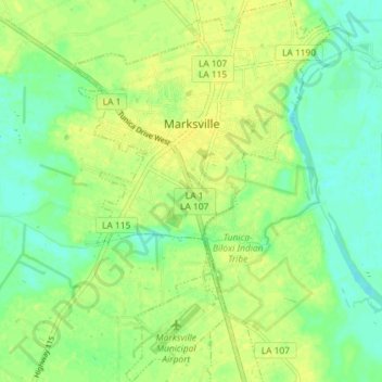
Name: Marksville topographic map, elevation, terrain.

Location: Marksville, Avoyelles Parish, Louisiana, United States (31.08613 -92.08903 31.14799 -92.04020)

Average elevation: 69 ft

Minimum elevation: 36 ft

Maximum elevation: 95 ft

Other topographic maps

Click on a map to view its topography, its elevation and its terrain.

Hamburg

United States > Louisiana > Avoyelles Parish

Average elevation: 49 ft

Gear up for your next adventure:

☀️Outdoor Sunscreen - High protection sunscreen for outdoor activities
🔥Fast-Boil Camping Stoves - Efficient cooking systems for quick trail meals
👖Convertible Hiking Pants - Versatile zip-off pants for changing altitudes and temperatures
GPS Sports Watch - GPS watch for running, hiking and training
🪵Folding Camp Saw - Compact saw for wood and campsite work

As an Amazon Associate, this site earns from qualifying purchases at no extra cost to you.