
Thank you for supporting this site ❤️
Make a donation
Make a donation
Gear up for your next adventure:
As an Amazon Associate, this site earns from qualifying purchases at no extra cost to you.
Malassa topographic map
Click on the map to display elevation.
Thank you for supporting this site ❤️
Make a donation
Make a donation
Gear up for your next adventure:
As an Amazon Associate, this site earns from qualifying purchases at no extra cost to you.
About this map
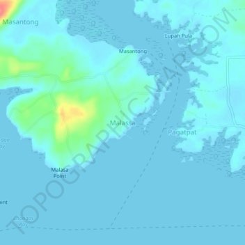
Name: Malassa topographic map, elevation, terrain.
Location: Malassa, Bongao, Tawi-Tawi, Bangsamoro, Philippines (5.04037 119.79237 5.08037 119.83237)
Average elevation: 20 ft
Minimum elevation: 0 ft
Maximum elevation: 220 ft
Thank you for supporting this site ❤️
Make a donation
Make a donation
Gear up for your next adventure:
As an Amazon Associate, this site earns from qualifying purchases at no extra cost to you.