Geolocate

Yabachea topographic map

Click on the map to display elevation.

About this map

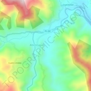
Name: Yabachea topographic map, elevation, terrain.

Location: Yabachea, Alto Anapati, Pangoa, Satipo, Junín, Perú (-11.69385 -74.32716 -11.65385 -74.28716)

Average elevation: 3,182 ft

Minimum elevation: 2,467 ft

Maximum elevation: 4,629 ft

Gear up for your next adventure:

🪑Ultralight Camp Chairs - Portable seating for resting after a long day of mapping
☀️Outdoor Sunscreen - High protection sunscreen for outdoor activities
🎒Trail Energy Bars - High‑calorie bars for hiking energy
📱Heavy-Duty Phone Cases - Drop-proof and waterproof protection for outdoor navigation
🦟Ultrasonic Repellers - Create a bug-free zone at your camp or rest stop

As an Amazon Associate, this site earns from qualifying purchases at no extra cost to you.