Geolocate

Kalaspur topographic map

Click on the map to display elevation.

About this map

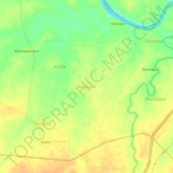
Name: Kalaspur topographic map, elevation, terrain.

Location: Kalaspur, Kalamb, Yavatmal, Maharashtra, 445401, India (20.49479 78.32362 20.53479 78.36362)

Average elevation: 817 ft

Minimum elevation: 755 ft

Maximum elevation: 856 ft

Other topographic maps

Click on a map to view its topography, its elevation and its terrain.

Kalamb

India > Maharashtra > Kalamb

Average elevation: 2,192 ft

Kalamb

India > Maharashtra > Kalamb

Average elevation: 1,056 ft

Gear up for your next adventure:

🕶️Glacier Sunglasses - Side shields to protect eyes from high-altitude snow glare
🌎3D Topographic Globes - Raised relief globes for a tactile understanding of geography
📚Navigation Handbooks - Master the art of reading topographic maps and using a compass
🛠️Outdoor Gear Repair Kit - Essential tools to fix gear on the trail
🧥Men's Rain Shells - Premium waterproof and breathable jackets for mountain weather

As an Amazon Associate, this site earns from qualifying purchases at no extra cost to you.