Geolocate

Mayview topographic map

Click on the map to display elevation.

About this map

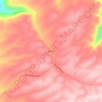
Name: Mayview topographic map, elevation, terrain.

Location: Mayview, Garfield County, Washington, United States (46.61099 -117.48574 46.65099 -117.44574)

Average elevation: 2,241 ft

Minimum elevation: 1,401 ft

Maximum elevation: 2,461 ft

Garfield County trails, hiking, mountain biking, running and outdoor activities

Gear up for your next adventure:

🔦Powerful Headlamps - Ultra-bright hands-free lighting for night navigation
🪑Portable Camp Table - Compact table for campsite meals
🕶️GPS Smartphone Mount - Secure mount for phone navigation
🛰️Satellite Messengers - Emergency SOS and two-way messaging for off-grid adventures
🥘Titanium Cookware - Durable, featherlight pots and pans for backpacking

As an Amazon Associate, this site earns from qualifying purchases at no extra cost to you.