
香泉乡 topographic map
Interactive map
Click on the map to display elevation.
About this map
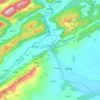
Name: 香泉乡 topographic map, elevation, terrain.
Location: 香泉乡, 北川羌族自治县, 绵阳市, 四川省, 中国 (31.68784 104.50032 31.77803 104.60182)
Average elevation: 2,224 ft
Minimum elevation: 1,657 ft
Maximum elevation: 4,140 ft
Other topographic maps
Click on a map to view its topography, its elevation and its terrain.