
Rural Municipality of Sifton topographic map
Interactive map
Click on the map to display elevation.
About this map
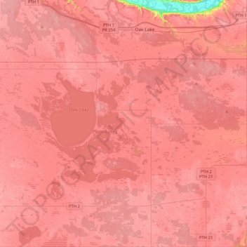
Name: Rural Municipality of Sifton topographic map, elevation, terrain.
Average elevation: 1,414 ft
Minimum elevation: 1,194 ft
Maximum elevation: 1,457 ft
Other topographic maps
Click on a map to view its topography, its elevation and its terrain.
Oak Lake
Canada > Manitoba > Division No. 6
Oak Lake, Division No. 6, Manitoba, R0M 1P0, Canada
Average elevation: 1,417 ft
Virden
Canada > Manitoba > Division No. 6
Virden, Division No. 6, Manitoba, R0M 2C0, Canada
Average elevation: 1,457 ft