
下李家 topographic map
Interactive map
Click on the map to display elevation.
About this map
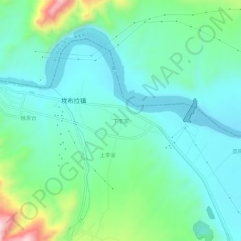
Name: 下李家 topographic map, elevation, terrain.
Location: 下李家, 尖扎县, 黄南藏族自治州, 青海省, 811200, 中国 (36.09030 101.83879 36.13030 101.87879)
Average elevation: 6,969 ft
Minimum elevation: 6,673 ft
Maximum elevation: 7,963 ft
Other topographic maps
Click on a map to view its topography, its elevation and its terrain.