
Make a donation
Gear up for your next adventure:
As an Amazon Associate, this site earns from qualifying purchases at no extra cost to you.
Armerillo Poniente topographic map
Click on the map to display elevation.
Make a donation
Gear up for your next adventure:
As an Amazon Associate, this site earns from qualifying purchases at no extra cost to you.
About this map
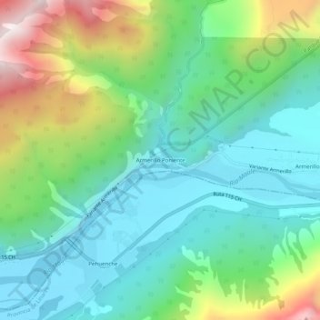
Name: Armerillo Poniente topographic map, elevation, terrain.
Average elevation: 2,523 ft
Minimum elevation: 1,493 ft
Maximum elevation: 5,052 ft
Make a donation
Gear up for your next adventure:
As an Amazon Associate, this site earns from qualifying purchases at no extra cost to you.
Other topographic maps
Click on a map to view its topography, its elevation and its terrain.
Reserva Nacional Altos de Lircay
Chile > Región del Maule > Provincia de Talca > San Clemente
Es de tipo templado cálido con estación seca prolongada. A medida que se interna hacia el oriente, debido a la mayor altitud, se dan algunas características de clima de montaña, con presencia de nevadas frecuentes que hacen que la nieve permanezca en el sector oriente durante el invierno y parte de la…
Average elevation: 5,476 ft
Laguna del Maule
Chile > Región del Maule > Provincia de Talca > San Clemente
Average elevation: 7,605 ft