Geolocate

Lindavista topographic map

Click on the map to display elevation.

About this map
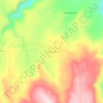
Name: Lindavista topographic map, elevation, terrain.

Location: Lindavista, Del Nayar, Nayarit, México (22.37345 -104.84386 22.41345 -104.80386)

Average elevation: 7,218 ft

Minimum elevation: 6,467 ft

Maximum elevation: 7,825 ft

Gear up for your next adventure:

🕶️GPS Smartphone Mount - Secure mount for phone navigation
⌚GPS Sports Watch - GPS watch for running, hiking and training
🛰️Handheld GPS Units - Professional satellite navigators for precise backcountry mapping
🦺Reflective Outdoor Gear - Safety gear for low‑light conditions
🌡️Portable Weather Meter - Track weather conditions on the trail

As an Amazon Associate, this site earns from qualifying purchases at no extra cost to you.