
Dooville topographic map
Click on the map to display elevation.
About this map
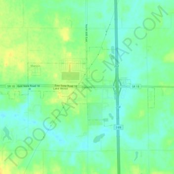
Name: Dooville topographic map, elevation, terrain.
Location: Dooville, Marion, Grant County, Indiana, United States (40.53338 -85.57997 40.57338 -85.53997)
Average elevation: 863 ft
Minimum elevation: 827 ft
Maximum elevation: 909 ft
Grant County trails, hiking, mountain biking, running and outdoor activities